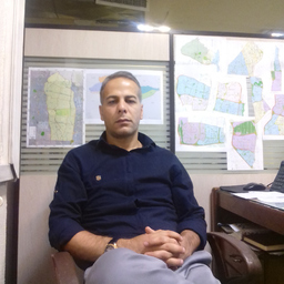
Aref Ghaderi
Angestellt, GIS Administrator/GIS Coordinator, GISP, Rayab Consulting Engineers
Tehran, Iran (Islamische Republik )
Über mich
I am capable of environmental spatial modeling as well as spatial analysis such as risk assessment, location detection, feasibility, land potential assessment and land monitoring. I would like to research all the topics related to geosciences and environmental analysis such as water sciences, environment, urban and urban planning, soil science and climate change. I am currently working on surface water and urban flooding, identifying and modeling the current state of the urban surface water transmission and distribution network. The aim is to optimize the urban surface water network to prevent flooding of urban thoroughfares. It also identifies the strengths and weaknesses of the urban surface water transmission network for various purposes, such as the future development of the city and provide the GIS database of all surface water network details and all its facilities are essential for future use.
Werdegang
Berufserfahrung von Aref Ghaderi
Bis heute 9 Jahre und 4 Monate, seit Jan. 2015
GIS Administrator/GIS Coordinator, GISP
Rayab Consulting Engineers
am capable of environmental spatial modeling as well as spatial analysis such as risk assessment, location detection, feasibility, land potential assessment and land monitoring. I would like to research all the topics related to geosciences and environmental analysis such as water sciences, environment, urban and urban planning, soil science and climate change. I am currently working on surface water and urban flooding, identifying and modeling the current state of the urban surface water transmission
Sprachen
Englisch
Fließend
