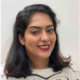
Shahla Dareshiri
Fähigkeiten und Kenntnisse
Werdegang
Berufserfahrung von Shahla Dareshiri
- 1 Jahr und 4 Monate, März 2022 - Juni 2023
Document Expert
Consulting Engineering Company of Zamin Negar
Direct communication and responsible for obtaining the approval of aerial and ground survey projects from the experts of the Mapping Organization of Iran
- 2 Jahre und 4 Monate, März 2021 - Juni 2023
Data Analyst
Consulting Engineering Company of Zamin Negar
•Managed calculations of aerial and ground survey projects, Data Analysis, Processing, Leveling, and Controlling data from Remote Sensing and GPS using LGO, Excel, and ArcGIS as a project manager •Analyzing and processing raw data from GPS, Performing calculations, and finalizing data coordinates for image processing using Leica Geo Office (LGO) and Excel •Registering the Benchmark coordinates, Designing the static data loop, and controlling it with the ground forces using Google Earth Pro
- 3 Jahre und 4 Monate, März 2020 - Juni 2023
GIS Specialist
Consulting Engineering Company of Zamin Negar
•Manager of the project of collecting descriptive-spatial information on the vegetation of Yazd city using ArcGIS as a GIS Specialist •Gathering descriptive information and designing the map •Constructing elevation points using DEM •Spatial Analysis, and Satellite Imagery
- 1 Jahr und 8 Monate, Aug. 2018 - März 2020
CAD Specialist
Consulting Engineering Company of Zamin Negar
• Gas pipeline project and its branches: Preparation of a map of gas connections using Images of Remote Sensing, AutoCAD, and ArcGIS • The privacy of riverbeds to prevent the dangers of floods and natural disasters: Preparation of 2D and 3D Images and maps of riverbeds using Remote Sensing, AgiSoft Metashape Pro, AutoCAD, and LPS • 2D and 3D drawing and map design according to the standard of mapping organization using AutoCAD • Drawing 3D maps using 3D glasses, MicroStation, ERDAS Imagine, and LPS
- 5 Monate, Nov. 2018 - März 2019
Remote Sensing and Photogrammetry
Consulting Engineering Company of Zamin Negar
• Processing of 2D and 3D images and classification using AgiSoft Metashape Pro
Ausbildung von Shahla Dareshiri
- 4 Jahre und 1 Monat, Sep. 2014 - Sep. 2018
Bachelor of Science in Geodesy and Surveying Engineering
Tafresh Amir Kabir University of Technology (TAUT)
Sprachen
Englisch
Fließend
XING Mitglieder mit ähnlichen Profilangaben
XING – Das Jobs-Netzwerk
Über eine Million Jobs
Entdecke mit XING genau den Job, der wirklich zu Dir passt.
Persönliche Job-Angebote
Lass Dich finden von Arbeitgebern und über 20.000 Recruiter·innen.
21 Mio. Mitglieder
Knüpf neue Kontakte und erhalte Impulse für ein besseres Job-Leben.
Kostenlos profitieren
Schon als Basis-Mitglied kannst Du Deine Job-Suche deutlich optimieren.
